Nothing can bring the development project to a standstill faster than the detection of underground utilities such as gas pipe, water pipe, electrical lines or sewer tanks. For instance, suppose, your crew identifies any utility line while digging a drain and how your entire development project will come to a halt. You might be lucky if you recognize the line before any damage is caused. But, it is not always feasible to excavate or drill holes to identify what lies underneath.
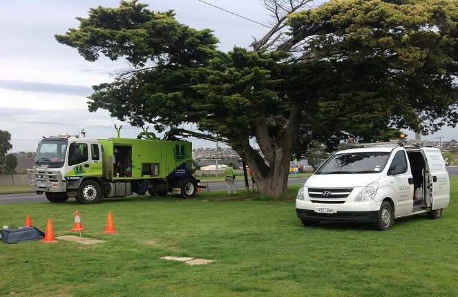
One of the best ways to locate underground utilities and other buried systems is to employ ground penetrating radar (GPR) services, which use state of the art equipment to scan the particular area and generate 2D and 3D images for evaluation. This high tech device uses high frequency radar sound waves to map out the surface underneath the ground. These services can be used for a wide range of applications and purposes including underground pipelines, underground tanks, local voids and cavities and detecting soil types.
Encountering them during on going projects can cause costly delays in the construction or property development project. For example, if we come across the underground tank and associated contamination, we will not only need to get it removed but will also need to deal with soil testing, alleviating contaminated soil and water pumping. All these resources can cause cost overruns and construction delays.
Why is GPR not Enough to Reduce the Risk of Unanticipated Underground Encounter?
Suppose you have hired a utility location services for your property which specialise in ground penetrating radar services. But during excavation, you encounter a UST which was not mentioned in their report. You might be wondering “How this can be possible?”. But, what we need to understand here is that tough GPR is a great scanning tool for detecting a large number of underground objects, it still doesn’t give you crystal clear pictures of what lies beneath your property.
Moreover, how deep you are able to see with GPR depends on the site conditions, GPR antenna frequencies and much more.
The Best Way to Overcome GPR Limitations!
This method can not only confirm the objects found in the earlier detection but can also help in discovering new utilities. Let’s have a look at these technologies.
- Electromagnetic Profiling Locator: This method utilities electromagnetic waves to outline the resistivity or conductivity of the ground and offer sketches based on it. Often, these sketches narrow down the search area for the underground objects, including UST to be easily found. Later, the corresponding utilities can be found using GPR or other utility location methods.
- Radio Frequency (RF) Pipe and Cable Locators: This method makes use of radio frequencies that are either inducted or conducted onto cables and pipes that carry radio waves. A receiver is then used to map the produced signal. A highly experienced and professional service provider would be able to interpret good traces and set up a good locate. Here, you need to take into account that this technology is useful only for conductive materials.
Using multiple technologies along with ground penetrating rather can maximize the potential of detecting, locating and mapping every single underground object. It ultimately reduces the risk of unexpected underground encounters.
For construction and development projects, using other methods in addition to Ground Penetrating Radar can minimize the risk of encountering potential underground objects and utilities. It’s far cheaper and effective to invest in more than one utility location service than halting the projects due to unexpected encounters!
Author's Bio:
Jon Armstrong is the person with immense knowledge of the structural investigation and underground utility mapping in Geelong. He works with GeoScan, the leading provider of underground utility mapping and locating services in Geelong. Call us on 0417 309 710.


